Products You May Like
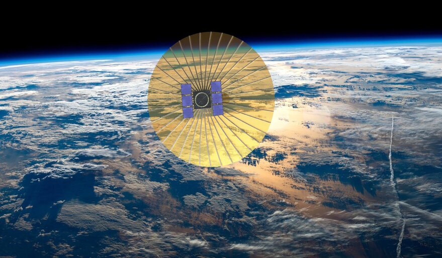
SAN FRANCISCO – Radar satellite startup Umbra plans to capture imagery with a resolution as high as 15 centimeters per pixel thanks to a Federal Communications Commission license.
The FCC granted Umbra, a Santa Barbara, California, startup preparing to launch its first X-band synthetic aperture radar (SAR) microsatellite this year, an experimental license in February to operate high-bandwidth SAR using the 1,200 MHz band centered on 9.8 GHz and low-bandwidth SAR with the 600 MHz band centered on 9.6 GHz.
Gabe Dominocielo, Umbra co-founder and president, referred to the FCC license as “hitting the regulatory jackpot.”
“Bandwidth is the limiting factor in determining slant range resolution, and ultimately ground plane resolution in the cross-track direction,” Dominocielo said by email. “Improvement in resolution is proportional to the amount of bandwidth available for use by the sensor.”
Umbra raised $32 million in an investment round announced in January.
The company plans to provide customers with inexpensive SAR data rather than geospatial analytics. The National Oceanic and Atmospheric Administration granted Umbra a license in 2018 to offer 25-centimeter resolution from satellites in 515-kilometer sun synchronous orbit.
With the new FCC license “better resolution will be available to some customers,” Umbra said in a March 11 news release. “Umbra anticipates being the sole commercial provider of these high-resolution radar products in the United States and will be selling imagery commercially to customers based in the United States and to allies abroad.”
Dominocielo declined to say whether U.S. defense and intelligence agencies were the customers likely to obtain access to Umbra’s highest-resolution imagery and data.
Umbra seeks to gather high resolution SAR data to feed artificial intelligence and machine learning algorithms.
“AI and machine learning algorithms are only as good as the data they are given,” Dominocielo said. “High resolution SAR images intrinsically are more valuable. Superior data will enable analytics firms and governments to improve their AI and machine learning workflows.”
The Commerce Department revised regulations for commercial remote sensing satellite systems in 2020, streamlining the licensing process with the goal of making U.S. companies more competitive globally.
The revised rules compare remote sensing systems with similar systems that are not subject to NOAA’s jurisdiction, including those licensed by other nations. Anything with similar capabilities to what is already available is now subject to minimal regulation compared with systems that offer improved capabilities.