Products You May Like
WASHINGTON — The once highly-classified ability to detect and pinpoint the locations of radio frequency (RF) emissions from space is rapidly transitioning to the commercial sector — giving companies new powerful capabilities for all sorts of surveillance and intelligence gathering.
Interest in RF monitoring from space has soared in recent years as geopolitical conflicts disrupt vital maritime shipping lanes and supply chains, underscoring vulnerabilities.
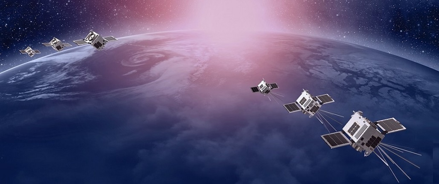
Companies like Virginia-based HawkEye 360 are leveraging shoebox-size satellites that hear electronic signals — emitted by ships, aircraft and other sources — to provide intelligence on “dark ships” evading detection and the location of GPS jammers in Ukraine. And the technology’s potential is only just starting to be realized, said James “Sandy” Winnefeld, a retired U.S. Navy admiral and a board member of HawkEye 360.
“We’re only scratching the surface of what’s possible,” he said in an interview.
RF data helps track vessels even if they shut off their Automatic Identification System (AIS) — a common tactic for illegal fishing or smuggling. Using data from other emitters such as ship radar, said Winnefeld, it’s possible to create an electronic “fingerprint” of that vessel so it can be identified even when the AIS is turned off or spoofed.
More applications
While the maritime environment has been the primary focus for commercial RF sensing companies, a new frontier is emerging on land as the proliferation of GPS, communications devices and other emitters generates a deluge of exploitable signals intelligence.
From smartphones and internet-of-things devices to vehicular communications systems and more, all of that data has intelligence value if it can be captured and analyzed, said Winnefeld.
“You’re going to see more RF processing capability, more frequency coverage, more sensitivity,” he said. A technical challenge remains in geolocating “very intermittent, hard to find land-based radars. That’s a much harder challenge, and an area where we’re going to work very hard in the future.”
Countries in different parts of the world are creating new demands for RF monitoring, said Winnefeld. “Everyone has different needs.”
In April, HawkEye 360’s constellation grew to 29 satellites after launching two triplets into mid-inclination orbits optimized for monitoring busy shipping lanes. Later this year it plans to deploy two more clusters of three spacecraft and test launch a new payload designed to collect more advanced signals intelligence.
Emerging competitors
As space-based RF sensing transitions from being a closely guarded capability of government and military programs to a commercial industry, U.S. firms like HawkEye 360 face growing international competition. Emerging players, notably in Europe, are capitalizing on democratized access to space, sensors and AI technologies.
Startups like Aerospacelab and Unseenlabs have recently unveiled plans to field advanced radio frequency monitoring satellites and data products over the coming years.
Belgium’s AerospaceLab in March launched its first trio of satellites equipped with RF sensing payloads that, like HawkEye 360’s, fly in a triangular formation. In a white paper published last month, the company touted its ability to characterize and locate unique RF emissions of ground-based radar systems.
French startup Unseenlabs, meanwhile, announced plans to expand its RF tracking satellite network beyond its core maritime business with a new generation of satellites capable of tracking emissions from land, air and space-based sources.
The company aims to grow its constellation to around 20 satellites in the next few years. Unseenlabs geolocates RF signals using individual satellites rather than orbital clusters like its competitors.
Radar imaging
Commercial providers of RF monitoring data are also facing growing competition from synthetic aperture radar (SAR) satellite operators rolling out their own maritime intelligence offerings.
Firms like Capella Space, Iceye and others are introducing new services for maritime domain awareness that promise to detect and identify dark vessels attempting to mask their locations.
While different types of space-based sensors are often viewed as competitors vying for the same customer dollars, Winnefeld said compelling intelligence emerges when disparate data sources are fused into integrated solutions.
Phenomenologies work best in a complementary fashion, he said. A prime example is the increasingly common “tipping and cueing” approach, where a satellite detecting a suspect RF emission from a vessel “tips” or cues another satellite with different sensing capabilities to take a closer look and capture high-resolution imagery.
This type of data fusion is already occurring in U.S. military and intelligence programs where a prime contractor is hired to integrate data streams from multiple commercial remote sensing providers into unified situational awareness solutions.
As the space-based electronic intelligence market expands, said Winnefeld, one obstacle for commercial firms is lack of awareness among potential government customers about the availability and capabilities of commercial services. Defense budgets and procurement processes that favor existing programs can also hinder adoption, he said.
“The military sometimes doesn’t have great visibility into what’s out there from the commercial sector,” Winnefeld said. He suggested companies offer pilot programs to defense organizations at little or no cost to showcase their electronic signals-tracking abilities.
