Products You May Like
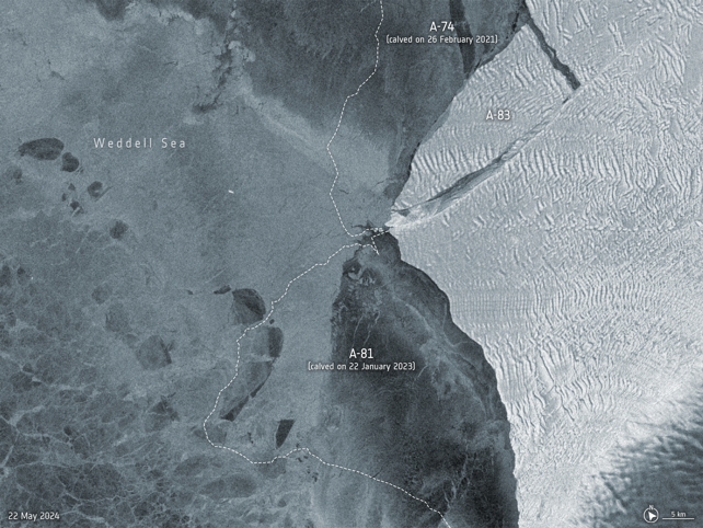
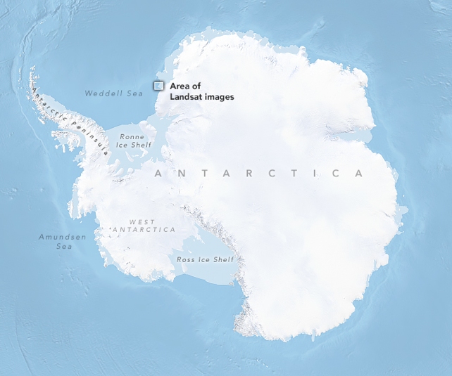
On May 20th, 2024, an iceberg measuring 380 square kilometers (~147 mi2) broke off the Brunt Ice Shelf in Antarctica.
This event (A-83) is this region’s third significant iceberg calving in the past four years.
The first came in 2021, when A-74 broke off the ice sheet, while an even larger berg named A-81 followed in 2023.
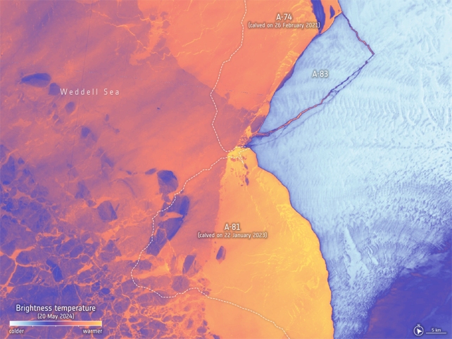
The separation of this iceberg was captured by two Earth Observation satellites – the ESA’s Copernicus Sentinel-1 and NASA’s Landsat 8 satellites – which provided radar imaging and thermal data, respectively.
The iceberg has been officially designated A-83 by the U.S. National Ice Center, which assigns names based on the Antarctic quadrant where the iceberg was first sighted.

Since Brunt is located in the eastern Weddell Sea, its bergs receive an ‘A’ designation while the numbers are assigned sequentially.
Routine monitoring of ice shelves by satellites allows scientists to track the effects of Climate Change in remote regions like Antarctica.
In particular, scientists can monitor how ice shelves retain their structural integrity in response to changing ice dynamics and increases in atmospheric and ocean temperatures.
This calving event (like its predecessors) was caused by the weakening of the ice at the McDonald Ice Rumples and the extension of the ‘Halloween Crack’ into the ice shelf.
The Copernicus Sentinel-1 mission relies on radar imaging to return images throughout the year, regardless of whether it’s day or night.
This is especially important during the winter when there is virtually no sunlight for six months (known as Antarctic Night).
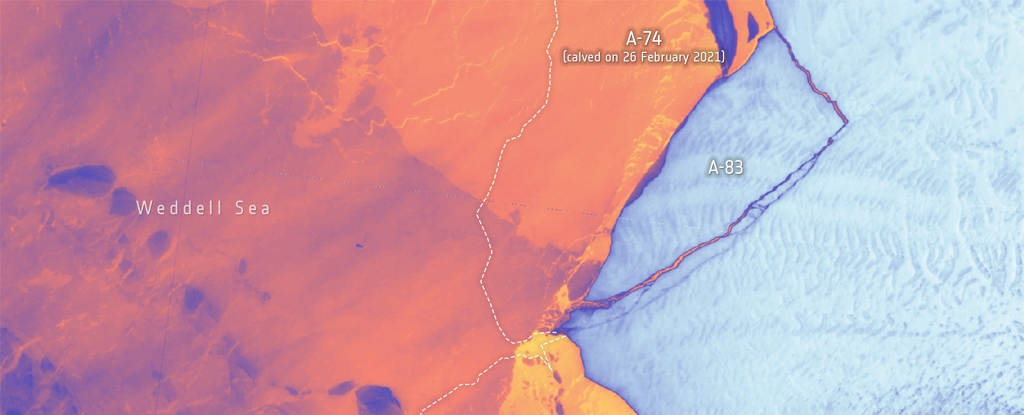
Missions like Landsat 8 rely on thermal imaging to help scientists characterize ice sheet thickness.

As the image above shows, the thinner ice appears warmer since it is closer in temperature to open water, while thicker continental ice appears darker.
The temperature differences between the ocean and ice sheets also help scientists identify where the calving line is.
Fortunately, the iceberg does not threaten the British Antarctic Survey’s Halley VI Research Station, an international research platform that observes Earth, atmospheric, and space weather.
While it is still located on the Brunt Ice Shelf, the station was relocated in 2017 to the Caird coast after the outer ice shelf was deemed unstable.

The ongoing loss of Antarctic ice is one of the clearest indications of rising global temperatures and a dire warning.
In addition to contributing to rising sea levels, coastal flooding, and extreme weather, the loss of polar ice leads to additional solar radiation being absorbed by Earth’s oceans, causing temperatures to rise further.
Monitoring the polar ice sheets is vital to adaptation and mitigation strategies, as spelled out in the IPCC’s Sixth Assessment Report (AR6).
This article was originally published by Universe Today. Read the original article.
